Helping You See More with Precision Optics
Science, Defense & Commercial Apps
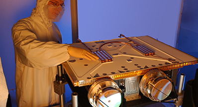
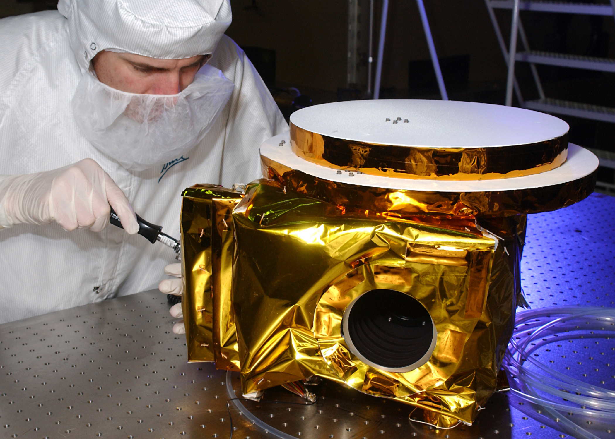
We design and build instruments that deliver some of the most accurate data available. It goes from space, airborne and land-based platforms right to scientists, warfighters and entrepreneurs. Our extremely accurate space-based sensors make revolutionary science missions like Kepler and Hubble possible and enable scientists to track Earth’s weather and climate trends like never before.
We combine geospatial-intelligence data from a number of different sources into products for an alphabet soup of government agencies. Our sensors and cameras give warfighters a battlefield advantage.
For the commercial market, we have very nimble Earth imaging satellites, high bandwidth laser communication options and LIDAR imaging technologies. All work extremely well for a variety of new cost-effective space and airborne missions.
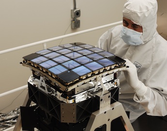
BESST Thermal Radiometer
Our BESST thermal radiometer provides high-accuracy data in monitoring our oceans.
DOWNLOAD
File Type:
PDF
File Size:
1010.70kb
Small Instruments
Download to learn about our small instruments for air and space-based applications.
DOWNLOAD
File Type:
PDF
File Size:
2.54mb
TotalSight™ 3D Imaging LIDAR
Download to learn about our real-time, full-motion, Flash 3D imaging capabilities.
DOWNLOAD
File Type:
PDF
File Size:
1.94mb
Instruments
Download to learn how our six decades of experience make us the provider of choice for leading-edge imaging systems.
DOWNLOAD
File Type:
PDF
File Size:
2.96mb
Electro-Optical
High-performance, high-reliability data for space and science missions.
Electro-Optical